Book Tickets Online
About
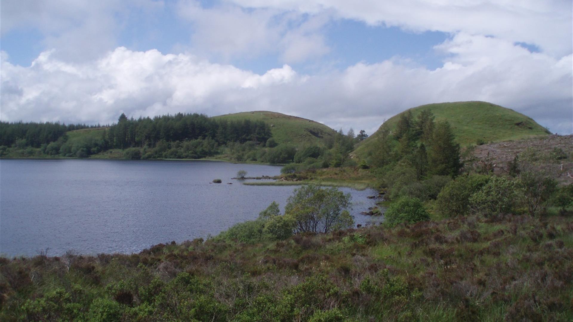
Lough Formal Walk: Carrigan Forest is part of the Marble Arch Caves Global Geopark. The Lough Formal walk is almost all on forestry tracks and features a short path through the heather to the summit of Formal More. This brisk walk is a chance to fill your lungs with mountain forest air while enjoying the views from Formal More, looking at some features of geological interest and experiencing a touch of wilderness. Sitting quietly for a while, you may be surprised at how much wildlife comes to you, in this seemingly barren woodland.Start Point:
H041494
Finish Point:
H041494
Route:
From the car park, follow the black route as indicated by the way marked posts. This takes you west along a short section of minor road, where the route then branches left onto a forest track. The route takes you through corridors of forest, opening up as you near Lough Formal. Take a moment to watch for woodland wildlife on one of the benches overlooking Lough Formal and proceed along the shores of the lough before making the short climb up Formal More to enjoy the views towards Lough Melvin, Donegal Bay and Cuilcagh Mountain. Retrace your steps to the junction in the path where you then turn right. The next section traces the Roogagh River and takes you deep into the forest before re-emerging onto the hill road. Please note: This Forest is managed sustainably by NI Forest Service. This walk is situated in a working forest environment and may be subject to diversions and closure from time to time.
Distance:
7 miles
Terrain:
All types of terrain
Point of interest:
The most intriguing feature along the walk is the delightful Lough Formal that lies in the shadow of Formal More and Formal Beg. The bed of Lough Formal sits astride two very different rock types: Dartry Limestone and Glenade Sandstone both of which formed
Facilities:
Information panel. Car parking available in car park for Big Dog Forest, nearest amenities Derrygonnelly.
Publication:
Marble Arch Caves Global Geopark: Forest Walks Booklet.
Publication availability:
www.marblearchcavesgeopark.com
Nearest town:
Derrygonnelly
OS map:
Sheet 17
Accessible terrain:
Conditions likely to be encountered: Steps, gullies, fences, streams, boulders, severe gradients, undefined edges, overhanging branches, some rest areas, way-finding markers at trail junctions. Wheelchair access is not possible due to path gradients.
Accessible signage:
Walk information panel, route way marked
Book Tickets
Facilities
Provider Preferences
- Free (parking charges may apply)


